
Toad Hall
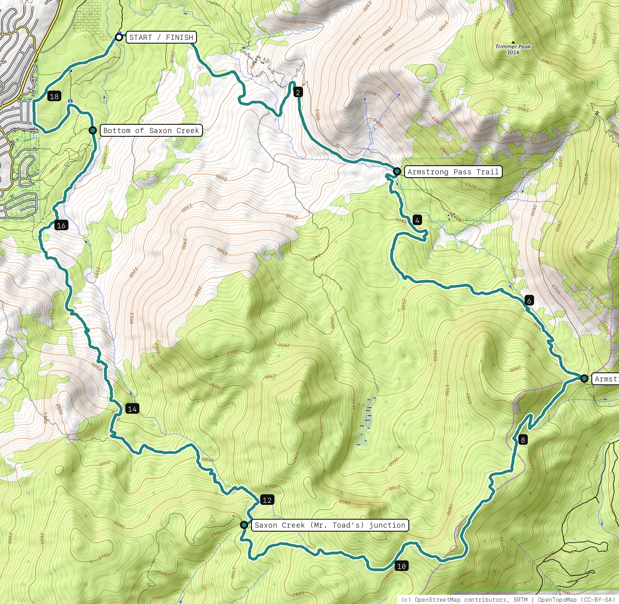
The no-shuttle way to Mr. Toad's: climb Fountain Place Road and the Armstrong Pass Trail to the Tahoe Rim Trail, roll west along the crest, then drop the whole of Saxon Creek back to Oneidas Street.
Your timesno timed runs yet
Ride mode times every run on its own: the clock starts when you roll out of the start and stops at the finish, with splits at each marked spot. Leave Ride mode on between laps and it re-arms when you're back at the start. Times stay on this phone.
Right now at the trailhead


Get the GPS file
Scan with a friend's phone, or tap below. Then open it in your ride app.
- iPhone: tap Download, open it from the Downloads bar, then Share → Trailforks, Strava or Garmin.
- Android: tap Download, then open the file and pick your app.
- Garmin: or drag it into Garmin Connect → Courses → Import on a computer.
https://bsqrd-designs.com/dirt/toad-hall/
Getting there
Park at Corral Trailhead (Fountain Place Road)
Fountain Place Rd (FR 1201) off Oneidas St, South Lake Tahoe, CA 96150
- Dirt lot on Fountain Place Road just past the Trout Creek bridge, where Powerline Road (12N08) splits off. Reach it from Pioneer Trail via Oneidas Street. No fee posted on the Forest Service biking page.
- Start and finish are the same spot. Follow the cue sheet and the arrows on the map.
Cue sheet
| 0.0 | Fountain Place Roadpavement | 3.4 mi |
| 3.4 | Armstrong Pass Trailsingletrack via Armstrong Pass, onto the Tahoe Rim Trail | 3.7 mi |
| 7.1 | Tahoe Rim Trailsingletrack | 4.8 mi |
| 11.9 | Saxon Creek Trailsingletrack via Saxon Creek (Mr. Toad's) junction · Bottom of Saxon Creek | 5.5 mi |
| 17.4 | Dirt roaddirt road | 0.3 mi |
| 17.7 | Singletrack connectorsingletrack | 0.5 mi |
| 18.2 | Chibcha Streetpavement | 0.2 mi |
| 18.4 | Fountain Place Roadpavement | 0.9 mi |
| 19.3 | Back at Corral Trailhead (Fountain Place Road) |
Know before you go
- Big day: about 19 miles and roughly 4,000 ft of climbing, most of it on Fountain Place Road and the Armstrong Pass Trail before the descent. Carry plenty of water and food; there is none on the ridge.
- Saxon Creek, the trail riders call Mr. Toad's Wild Ride, is ridden downhill. Do not try to climb it. Expect rock gardens, ledges, water bars and steep, loose sections all the way down; a longer-travel bike helps.
- Turn onto the Armstrong Pass Trail right where the Fountain Place Road pavement ends; bikes are not allowed past the gate (private land beyond). The Rim Trail section between Armstrong Pass and the Saxon Creek junction is rough and rocky in places.
- The last stretch back to the car uses Chibcha Street, Oneidas Street and Fountain Place Road through a quiet neighborhood. Ride single file.
- E-bikes are not allowed on the Tahoe Rim Trail or on non-motorized Forest Service trails here.
- The 2021 Caldor Fire burned parts of this area. Expect open slopes, standing dead trees and changing tread.
Ride smart
- Water: plan on about 2.5 L for this ride. There's none on the trail.
- Signal is spotty. Tell someone your route and your time back.
- Emergency: call 911 and say "Toad Hall ride, parked at Corral Trailhead (Fountain Place Road), South Lake Tahoe, California and Nevada", plus the coordinates from Locate me.
- Wildlife: give horses, burros and anything with horns room, and never feed them.
- Stay on trail. Desert crust and mountain soil take decades to heal.
Report a problem or share a photo
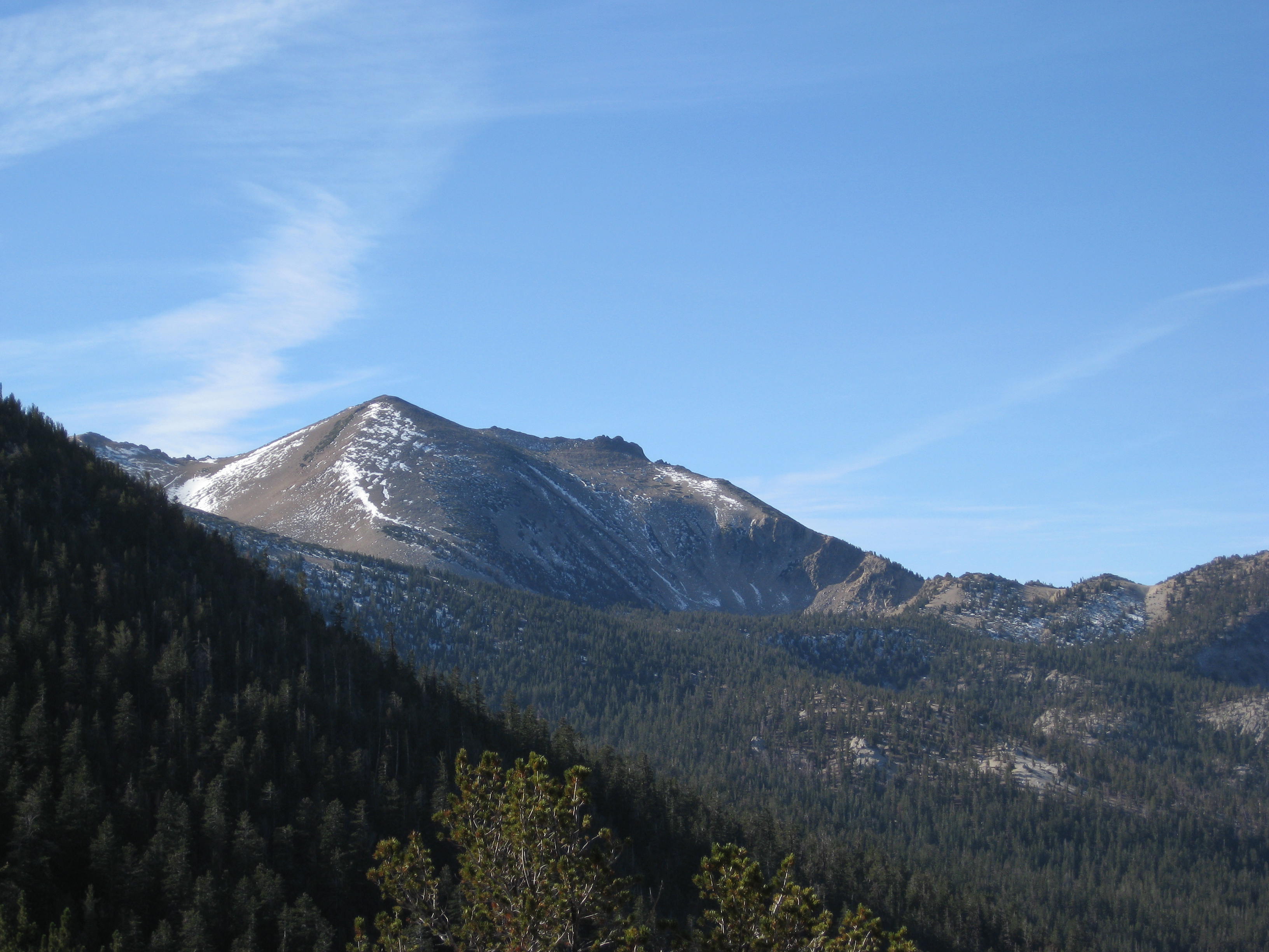
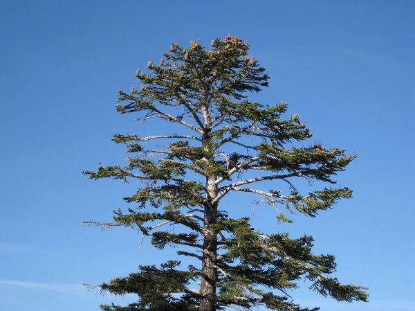
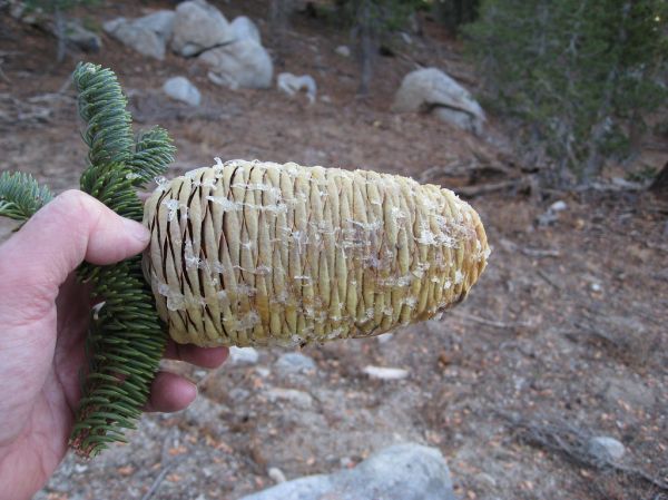
Washout, closure, new fence or a missing sign? Got a great shot of a junction? Send it. It goes straight to Ryan; photos he approves show up on this page with your credit.
End ride?
Turn calls, the timer and your recording stop when the ride ends.