
Petal Pusher
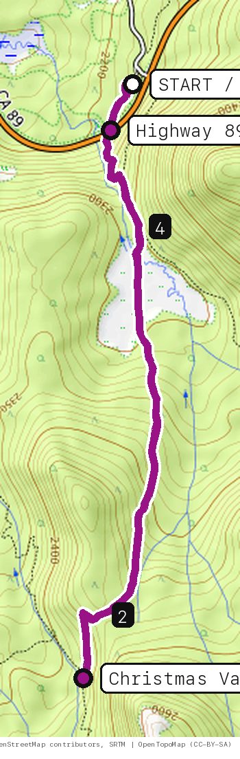
The Tahoe Rim Trail south from Big Meadow: across Highway 89, up through the pines, across the open meadow and on to the Christmas Valley Trail junction near Round Lake, then back the same way.
Your timesno timed runs yet
Ride mode times every run on its own: the clock starts when you roll out of the start and stops at the finish, with splits at each marked spot. Leave Ride mode on between laps and it re-arms when you're back at the start. Times stay on this phone.
Right now at the trailhead


Get the GPS file
Scan with a friend's phone, or tap below. Then open it in your ride app.
- iPhone: tap Download, open it from the Downloads bar, then Share → Trailforks, Strava or Garmin.
- Android: tap Download, then open the file and pick your app.
- Garmin: or drag it into Garmin Connect → Courses → Import on a computer.
https://bsqrd-designs.com/dirt/petal-pusher/
Getting there
Park at Big Meadow Trailhead
Off CA-89 just below Luther Pass, about 10 mi south of South Lake Tahoe, CA 96150
- Free (Lake Tahoe Basin Management Unit), open 24 hours, seasonal parking reached by a gated road just before the summit. Restrooms only when the lot is open; no overnight parking.
- Start and finish are the same spot. Follow the cue sheet and the arrows on the map.
Cue sheet
| 0.0 | Tahoe Rim Trailsingletrack via Highway 89 crossing | 0.7 mi |
| 0.7 | Tahoe Rim Trail (Big Meadow to PCT)singletrack via Christmas Valley Trail junction (turnaround) | 3.5 mi |
| 4.2 | Tahoe Rim Trailsingletrack | 0.6 mi |
| 4.8 | Back at Big Meadow Trailhead |
Know before you go
- Cross Highway 89 with care near the start: the road curves and traffic is fast. The trail continues on the south side.
- Turn around at the Christmas Valley Trail junction. Farther south the Rim Trail joins the Pacific Crest Trail at Meiss Meadow, and that shared section is closed to bikes all the way to Twin Peaks. The Dardanelles Trail branching off nearby is rougher.
- E-bikes are not allowed on this part of the Tahoe Rim Trail.
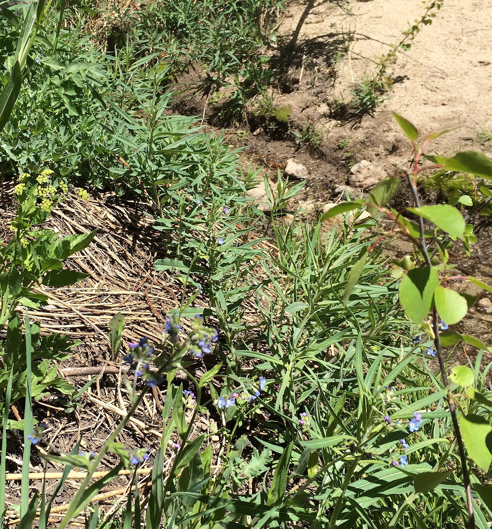
- Big Meadow is a wildflower spot in early summer and busy with hikers and horses. Slow down and yield.
- The trailhead and trail sit above 7,000 ft and hold snow into early summer.
Ride smart
- Water: plan on about 1 L for this ride. There's none on the trail.
- Signal is spotty. Tell someone your route and your time back.
- Emergency: call 911 and say "Petal Pusher ride, parked at Big Meadow Trailhead, South Lake Tahoe, California and Nevada", plus the coordinates from Locate me.
- Wildlife: give horses, burros and anything with horns room, and never feed them.
- Stay on trail. Desert crust and mountain soil take decades to heal.
Report a problem or share a photo
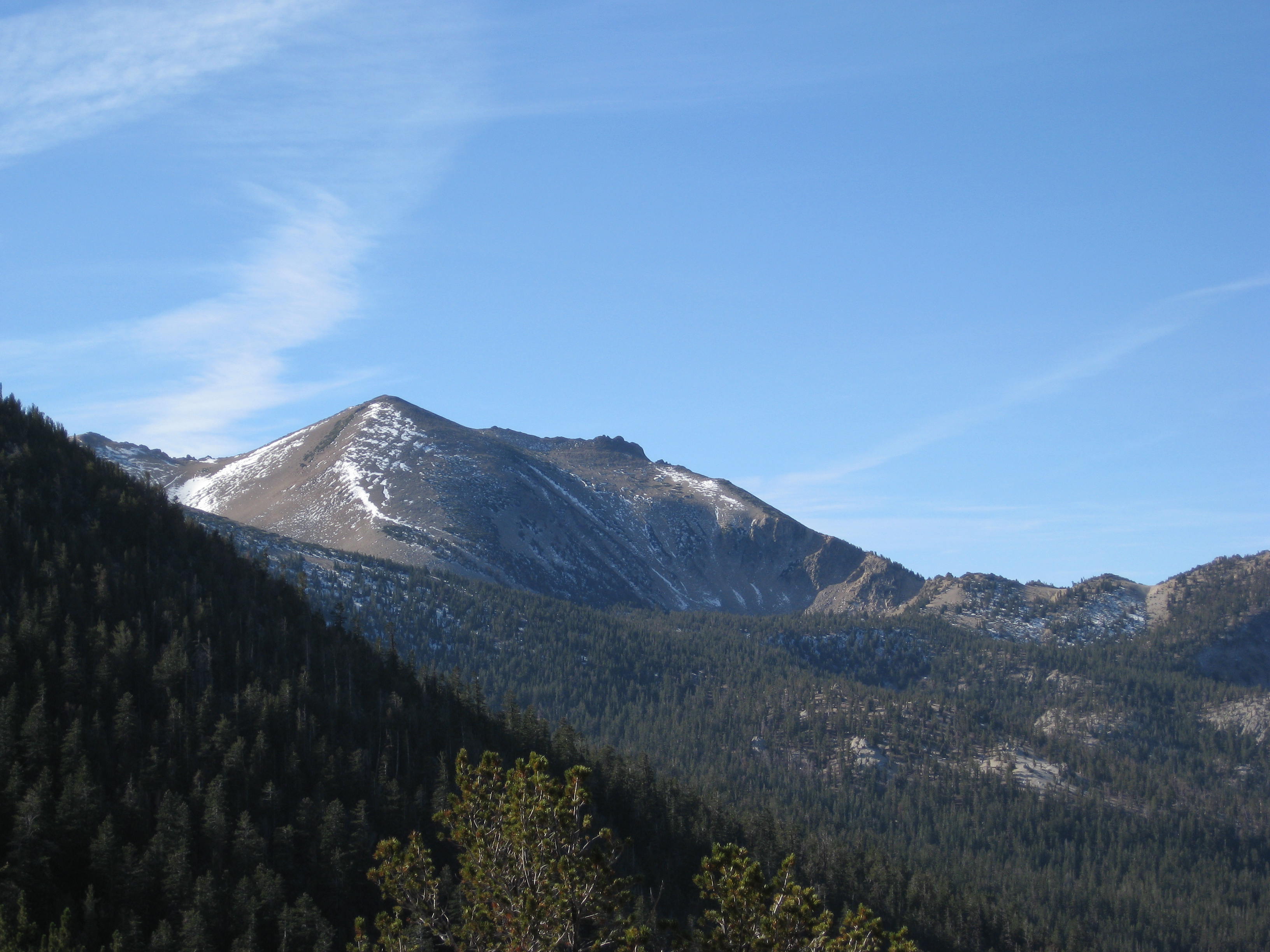
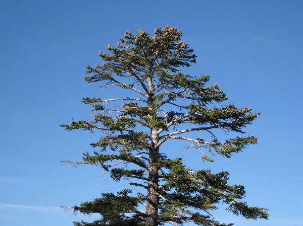
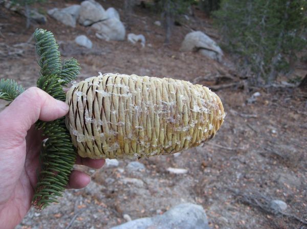
Washout, closure, new fence or a missing sign? Got a great shot of a junction? Send it. It goes straight to Ryan; photos he approves show up on this page with your credit.
End ride?
Turn calls, the timer and your recording stop when the ride ends.