
McCoy Cruise
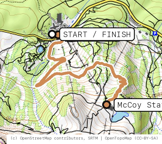
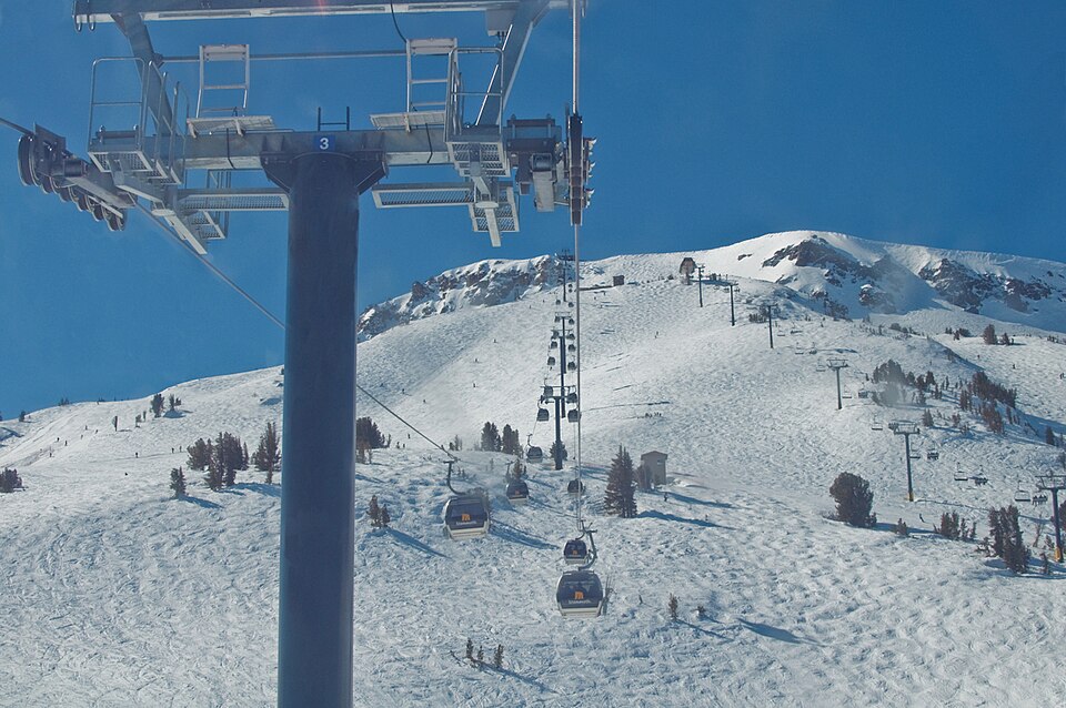
Panorama Gondola to McCoy Station, then Midtown all the way down: berms and paver turns up top, long traverses through the trees back to Main Lodge.
Your timesno timed runs yet
Ride mode times every run on its own: the clock starts when you roll out of the start and stops at the finish, with splits at each marked spot. Leave Ride mode on between laps and it re-arms when you're back at the start. Times stay on this phone.
Right now at the trailhead


Get the GPS file
Scan with a friend's phone, or tap below. Then open it in your ride app.
- iPhone: tap Download, open it from the Downloads bar, then Share → Trailforks, Strava or Garmin.
- Android: tap Download, then open the file and pick your app.
- Garmin: or drag it into Garmin Connect → Courses → Import on a computer.
https://bsqrd-designs.com/dirt/mccoy-cruise/
Getting there
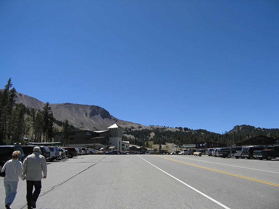
Park at Main Lodge lot
10001 Minaret Rd, Mammoth Lakes, CA 93546
- Main Lodge base area of Mammoth Mountain. Tickets and rentals at Main Lodge. Check the resort site for summer parking rules before you go.
- Start and finish are the same spot. Follow the cue sheet and the arrows on the map.
Cue sheet
| 0.0 | Midtownsingletrack via McCoy Station · Main Lodge | 2.2 mi |
| 2.2 | Back at Main Lodge lot |
Know before you go
- Lift-served only: ride the lower Panorama Gondola to McCoy Station (9,630 ft) and pedal nothing but the descent. A bike park ticket is required.
- Midtown is an intermediate (blue) trail on the resort map. The resort's intermediate rating means steep slopes, rocks, loose soil and narrower trail; full suspension and knee and elbow pads are recommended.
- About 700 ft of drop over 2.2 miles, from 9,620 ft at McCoy to Main Lodge.
- Several expert and pro lines (Velocity, Chain Smoke, Techno Rock, Twilight Zone) leave the same area near McCoy. Follow the Midtown signs.
- Ride in the direction signed; cutting trails costs you your ticket. Helmets are required.
- 2026 hours from the resort map: lower Panorama Gondola 9 a.m. to 5 p.m. Hours change after Labor Day; check the Mammoth app or site the day you go.
Ride smart
- Water: plan on about 0.5 L for this ride. There's none on the trail.
- Signal is spotty. Tell someone your route and your time back.
- Emergency: call 911 and say "McCoy Cruise ride, parked at Main Lodge lot, Mammoth Bike Park", plus the coordinates from Locate me.
- Wildlife: give horses, burros and anything with horns room, and never feed them.
- Stay on trail. Desert crust and mountain soil take decades to heal.
Report a problem or share a photo
Washout, closure, new fence or a missing sign? Got a great shot of a junction? Send it. It goes straight to Ryan; photos he approves show up on this page with your credit.
Trail photos



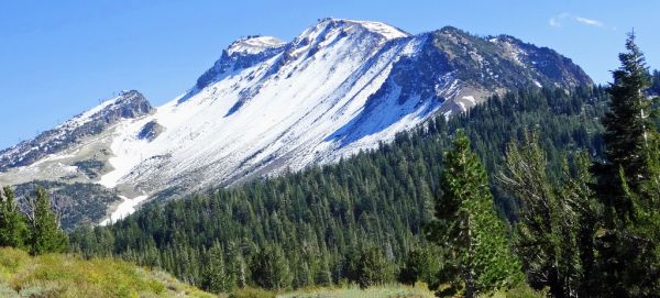
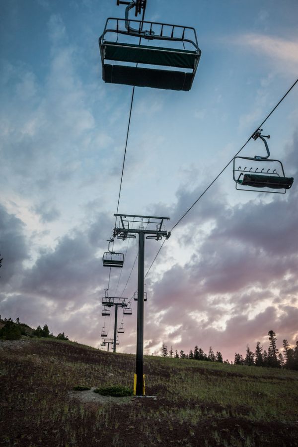
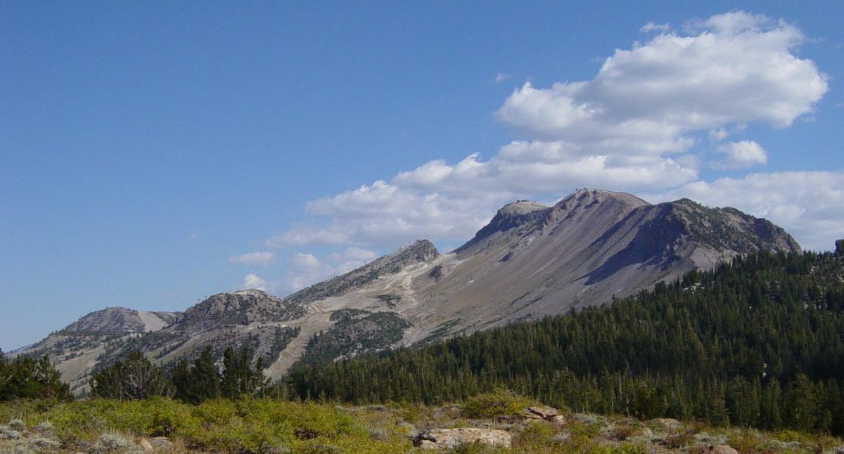
End ride?
Turn calls, the timer and your recording stop when the ride ends.