
Line Dance
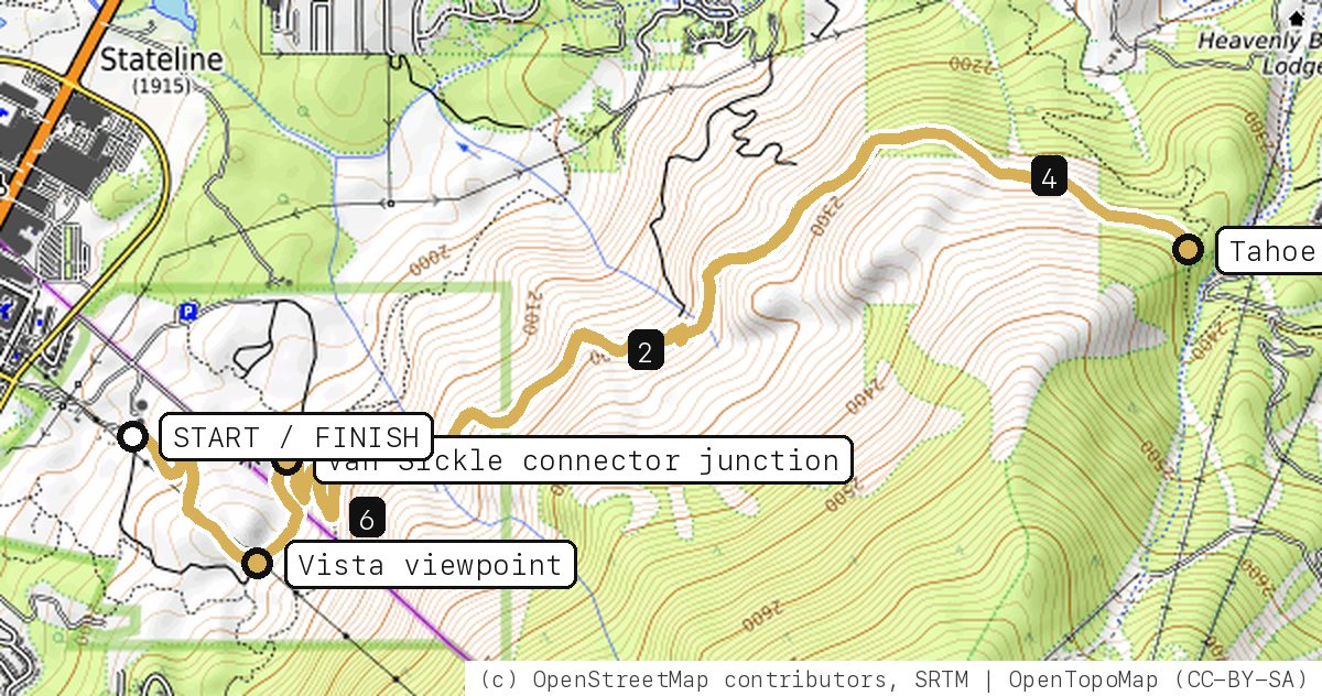
Barn Trail and the Cal Neva Loop out of the California-side lot, then the Van Sickle connector switchbacking up through the pines to the Tahoe Rim Trail, and back the same way.
Your timesno timed runs yet
Ride mode times every run on its own: the clock starts when you roll out of the start and stops at the finish, with splits at each marked spot. Leave Ride mode on between laps and it re-arms when you're back at the start. Times stay on this phone.
Right now at the trailhead


Get the GPS file
Scan with a friend's phone, or tap below. Then open it in your ride app.
- iPhone: tap Download, open it from the Downloads bar, then Share → Trailforks, Strava or Garmin.
- Android: tap Download, then open the file and pick your app.
- Garmin: or drag it into Garmin Connect → Courses → Import on a computer.
https://bsqrd-designs.com/dirt/line-dance/
Getting there
Park at Van Sickle Bi-State Park, California day-use lot
30 Lake Pkwy, South Lake Tahoe, NV 96150 (enter from Heavenly Village)
- Free. Nevada State Parks lists vehicle access May 1 to Oct 31, sunrise to sunset. During construction (through fall 2027) only the California-side lot is open and spaces are limited; the Heavenly Village garage is the paid fallback.
- Start and finish are the same spot. Follow the cue sheet and the arrows on the map.
Cue sheet
| 0.0 | Barn Trailsingletrack via Vista viewpoint | 0.6 mi |
| 0.6 | Cal Neva Loopsingletrack via Van Sickle connector junction | 0.3 mi |
| 0.8 | Van Sickle Trailsingletrack via Tahoe Rim Trail junction (turnaround) | 5.7 mi |
| 6.5 | Cal Neva Loopsingletrack | 0.3 mi |
| 6.8 | Barn Trailsingletrack | 0.6 mi |
| 7.4 | Back at Van Sickle Bi-State Park, California day-use lot |
Know before you go
- Out and back: about 1,350 ft of steady climbing to the Tahoe Rim Trail junction, then a fast descent home on the same trail. Watch for hikers and horses coming up.
- Construction closure through fall 2027: Nevada State Parks has closed the Nevada day-use area, the Nevada parking lot and all Nevada-side trails west of the Vista Spur viewpoint, including the K to K Trail. Reach the Rim Trail from the California side via the Barn Trail, as this route does, and stay out of fenced work zones.
- The park is open to people on foot and bikes year-round from sunrise to sunset, but the gate for cars is only open May 1 to Oct 31. Stay on trails.
- Fire restrictions were posted for the park in 2026. No drones.
Ride smart
- Water: plan on about 1 L for this ride. There's none on the trail.
- Signal is spotty. Tell someone your route and your time back.
- Emergency: call 911 and say "Line Dance ride, parked at Van Sickle Bi-State Park, California day-use lot, South Lake Tahoe, California and Nevada", plus the coordinates from Locate me.
- Wildlife: give horses, burros and anything with horns room, and never feed them.
- Stay on trail. Desert crust and mountain soil take decades to heal.
Report a problem or share a photo
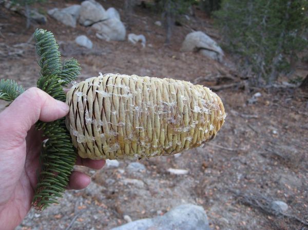
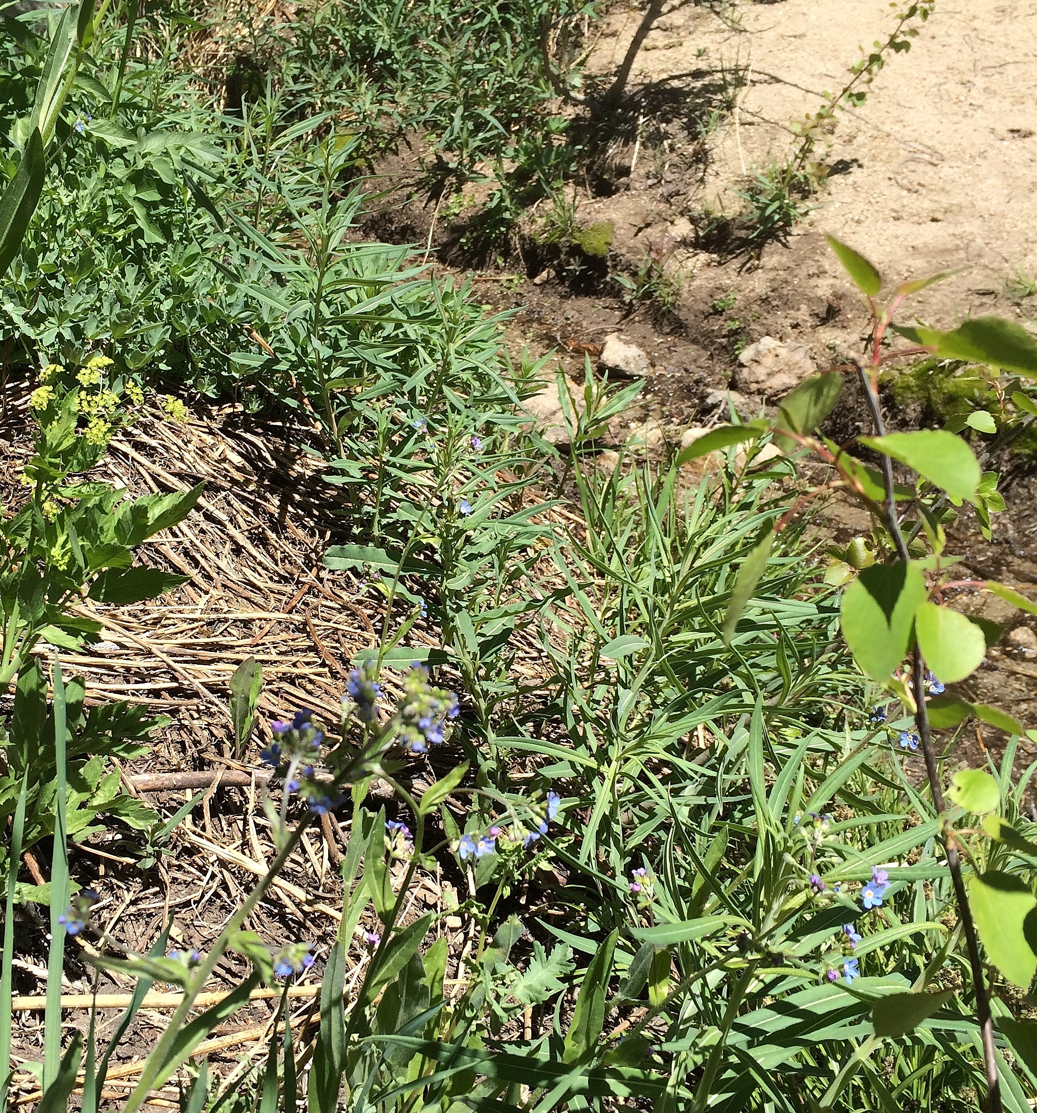
Washout, closure, new fence or a missing sign? Got a great shot of a junction? Send it. It goes straight to Ryan; photos he approves show up on this page with your credit.
Trail photos

End ride?
Turn calls, the timer and your recording stop when the ride ends.