
Ride 02 · Blue Diamond / Cottonwood Valley · intermediate · all rides
Full Grin
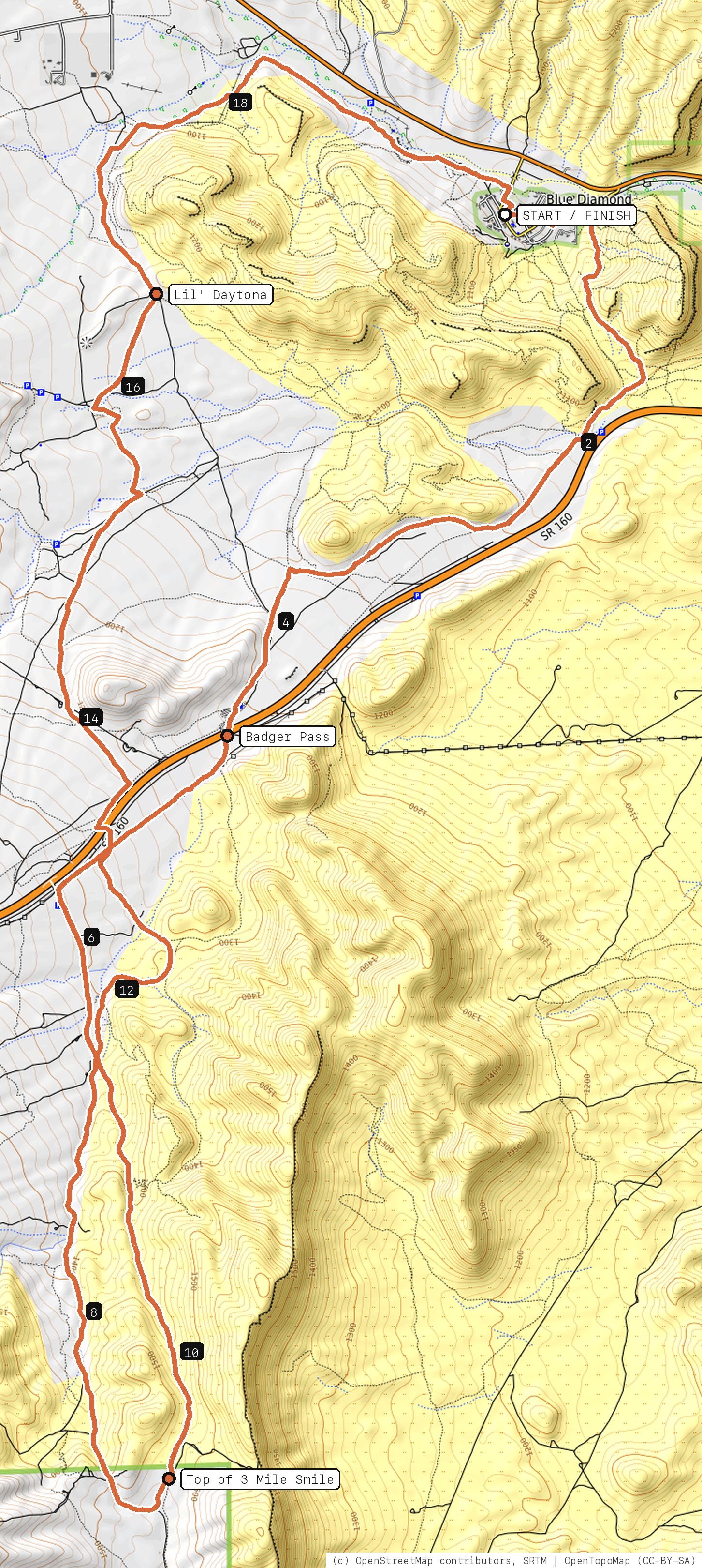
Dirt-road climb to the very top, then all three miles of 3 Mile Smile. The whole grin.
⚠︎
Not yet rider-checked. This line was routed from OpenStreetMap trail data and hasn't been ridden end to end yet. Cross-check turns against the trail signs or Trailforks.
20.2miles
2,011ft climb
4,925ft high point
3:00est. moving
Lowchunk (0.5%)
singletrack 66% dirt road 30% pavement 4%
Your timesno timed runs yet
Ride mode times every run on its own: the clock starts when you roll out of the start and stops at the finish, with splits at each marked spot. Leave Ride mode on between laps and it re-arms when you're back at the start. Times stay on this phone.
Starting GPS…
0:00.0Timer: ride to the start
elevation · drag across to follow on the map
Right now at the trailhead
--temp now
--high today
--wind / gusts
--rain last 48 hrs
--sunset


Get the GPS file
Scan with a friend's phone, or tap below. Then open it in your ride app.
- iPhone: tap Download, open it from the Downloads bar, then Share → Trailforks, Strava or Garmin.
- Android: tap Download, then open the file and pick your app.
- Garmin: or drag it into Garmin Connect → Courses → Import on a computer.
https://bsqrd-designs.com/dirt/full-grin/
Getting there
Park at Cottonwood Station
14 Cottonwood Dr, Blue Diamond, NV 89004
- It's a small-town cafe lot. Park considerately, and grab a coffee after.
- Start and finish are the same spot. Follow the cue sheet and the arrows on the map.
Cue sheet
| 0.0 | Village Boulevardpavement | 0.2 mi |
| 0.2 | Sage Lanepavement | 0.1 mi |
| 0.3 | Cerrito Streetpavement | 0.1 mi |
| 0.5 | Singletrack connectorsingletrack | 0.6 mi |
| 1.1 | Monkeyshinesingletrack | 0.5 mi |
| 1.6 | Molly'ssingletrack | 0.2 mi |
| 1.8 | Old Spanish Trailsingletrack | 1.0 mi |
| 2.8 | Singletrack connectorsingletrack via Badger Pass | 1.9 mi |
| 4.7 | Badger Pass Trailsingletrack | 0.2 mi |
| 4.9 | Dirt roaddirt road | 1.1 mi |
| 6.0 | Cottonwood Pass Roaddirt road | 3.4 mi |
| 9.4 | Old ATV Roaddirt road via Top of 3 Mile Smile | 0.2 mi |
| 9.5 | 3 Mile Smilesingletrack | 3.0 mi |
| 12.6 | White Rhino Connectorsingletrack | 0.1 mi |
| 12.7 | White Rhino (Latenight Connector)singletrack | 0.8 mi |
| 13.5 | Singletrack connectorsingletrack | 2.0 mi |
| 15.5 | Lil' Daytonasingletrack | 1.3 mi |
| 16.8 | Black Velvet Access Roaddirt road | 0.8 mi |
| 17.6 | Dirt roaddirt road | 0.3 mi |
| 18.0 | Singletrack connectorsingletrack | 2.3 mi |
| 20.2 | Back at Cottonwood Station |
Know before you go
- The climb to the top is mostly Cottonwood Pass Road: smooth dirt, steady grade, no shade.
- 3 Mile Smile is downhill-primary. Ride it northbound only.
- Longest ride here. Start early from May to September.
Ride smart
- Water: plan on about 2.5 L for this ride. There's none on the trail.
- Signal is spotty. Tell someone your route and your time back.
- Emergency: call 911 and say "Full Grin ride, parked at Cottonwood Station, Blue Diamond / Cottonwood Valley", plus the coordinates from Locate me.
- Wildlife: give horses, burros and anything with horns room, and never feed them.
- Stay on trail. Desert crust and mountain soil take decades to heal.
Report a problem or share a photo
Washout, closure, new fence or a missing sign? Got a great shot of a junction? Send it. It goes straight to Ryan; photos he approves show up on this page with your credit.
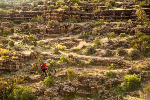
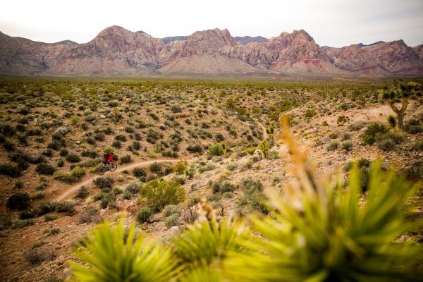
Trail photos


End ride?
Turn calls, the timer and your recording stop when the ride ends.