
Falcon Punch
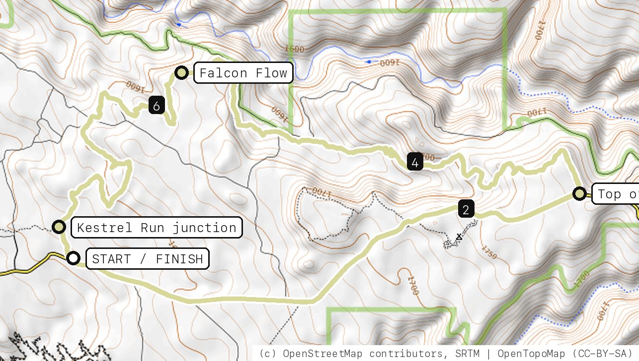
Grind up Sand Flats Road, then let Falcon Flow carry you five-plus miles of rolling desert singletrack back to the car.
Your timesno timed runs yet
Ride mode times every run on its own: the clock starts when you roll out of the start and stops at the finish, with splits at each marked spot. Leave Ride mode on between laps and it re-arms when you're back at the start. Times stay on this phone.
Right now at the trailhead


Get the GPS file
Scan with a friend's phone, or tap below. Then open it in your ride app.
- iPhone: tap Download, open it from the Downloads bar, then Share → Trailforks, Strava or Garmin.
- Android: tap Download, then open the file and pick your app.
- Garmin: or drag it into Garmin Connect → Courses → Import on a computer.
https://bsqrd-designs.com/dirt/falcon-punch/
Getting there
Park at Falcon Flow Trailhead (Sand Flats)
Sand Flats Road, Sand Flats Recreation Area, east of Moab, UT 84532
- Sand Flats charges a day-use fee at the entrance station (Grand County and BLM partnership). Federal and state park passes are not valid there except the Access Pass.
- Start and finish are the same spot. Follow the cue sheet and the arrows on the map.
Cue sheet
| 0.0 | Sand Flats Roaddirt road | 2.6 mi |
| 2.7 | Falcon Flowsingletrack via Top of Falcon Flow · Kestrel Run junction | 5.5 mi |
| 8.1 | Back at Falcon Flow Trailhead (Sand Flats) |
Know before you go
- Falcon Flow is a directional trail ridden east to west, and Grand County warns against riding it uphill: limited sight lines and fast downhill sections. Climb the road, descend the trail.
- Sand Flats Road is a shared county road with cars and Jeeps. Ride single file.
- Kestrel Run branches off about a quarter mile before the lot and is two-way; stay on Falcon Flow to finish here.
- No shade. Carry all your water, and skip it when the trail is muddy.
Ride smart
- Water: plan on about 1 L for this ride. There's none on the trail.
- Signal is spotty. Tell someone your route and your time back.
- Emergency: call 911 and say "Falcon Punch ride, parked at Falcon Flow Trailhead (Sand Flats), Moab, Utah", plus the coordinates from Locate me.
- Wildlife: give horses, burros and anything with horns room, and never feed them.
- Stay on trail. Desert crust and mountain soil take decades to heal.
Report a problem or share a photo
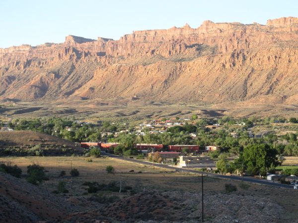
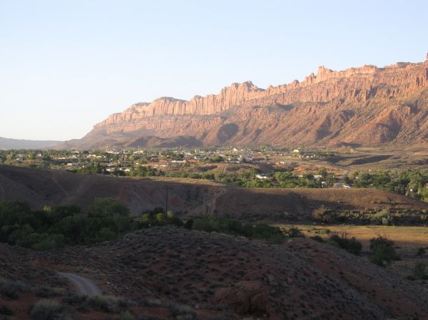
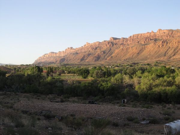
Washout, closure, new fence or a missing sign? Got a great shot of a junction? Send it. It goes straight to Ryan; photos he approves show up on this page with your credit.
Trail photos
End ride?
Turn calls, the timer and your recording stop when the ride ends.