
Doe-See-Doe
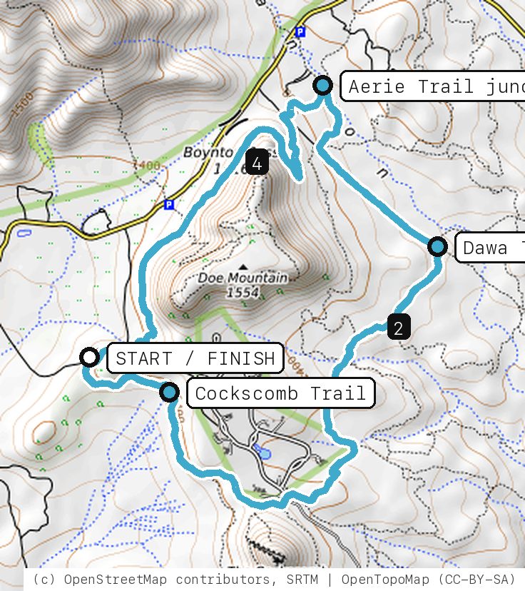
A gentle lap around Doe Mountain: Cockscomb Trail out past the Dawa junction, then the Aerie Trail home along the base of the mesa.
Your timesno timed runs yet
Ride mode times every run on its own: the clock starts when you roll out of the start and stops at the finish, with splits at each marked spot. Leave Ride mode on between laps and it re-arms when you're back at the start. Times stay on this phone.
Right now at the trailhead


Get the GPS file
Scan with a friend's phone, or tap below. Then open it in your ride app.
- iPhone: tap Download, open it from the Downloads bar, then Share → Trailforks, Strava or Garmin.
- Android: tap Download, then open the file and pick your app.
- Garmin: or drag it into Garmin Connect → Courses → Import on a computer.
https://bsqrd-designs.com/dirt/doe-see-doe/
Getting there
Park at Aerie Trailhead
End of Aerie Rd off Boynton Pass Rd, Sedona, AZ 86336
- No fee listed: Aerie Trailhead is not on the Coconino NF list of Red Rock Pass sites (checked Oct 10, 2026). Obey any signs posted at the lot.
- Start and finish are the same spot. Follow the cue sheet and the arrows on the map.
Cue sheet
| 0.0 | Cockscomb Trailsingletrack via Dawa Trail junction · Aerie Trail junction | 3.3 mi |
| 3.3 | Aerie Trailsingletrack | 1.9 mi |
| 5.2 | Back at Aerie Trailhead |
Know before you go
- The Forest calls the Cockscomb trail system easy to moderately strenuous with easy grades, little elevation change and good signs. This loop is the easy end of it, but it is still Sedona dirt: expect sand, a few rocky steps and short punchy bits. Walk anything that feels sketchy.
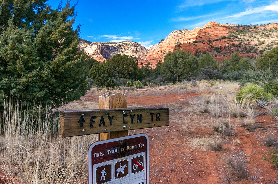
- Stay on Cockscomb and Aerie as the cue sheet says. Doe Mountain Trail is a steep hike to the top, and Bear Mountain, Fay Canyon and Boynton Canyon lead toward Red Rock-Secret Mountain Wilderness, which is closed to bikes.
- Almost no shade. Bring more water than you think and skip midday in warm months.
- Red Rock Ranger District trails are shared with hikers and horses, and many were hit by erosion after recent wildfires (Coconino NF). Expect rough, washed-out spots.
Ride smart
- Water: plan on about 1 L for this ride. There's none on the trail.
- Signal is spotty. Tell someone your route and your time back.
- Emergency: call 911 and say "Doe-See-Doe ride, parked at Aerie Trailhead, Sedona, Arizona", plus the coordinates from Locate me.
- Wildlife: give horses, burros and anything with horns room, and never feed them.
- Stay on trail. Desert crust and mountain soil take decades to heal.
Report a problem or share a photo
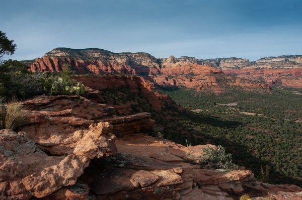
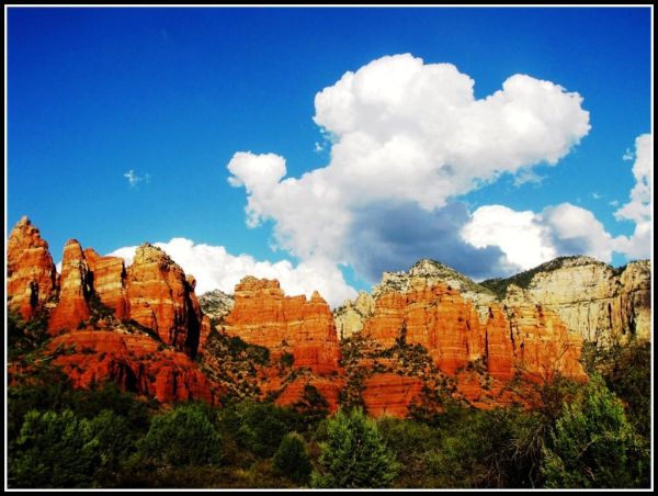
Washout, closure, new fence or a missing sign? Got a great shot of a junction? Send it. It goes straight to Ryan; photos he approves show up on this page with your credit.
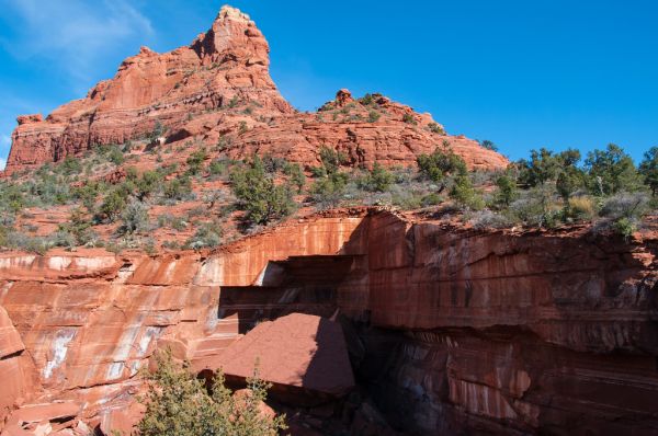
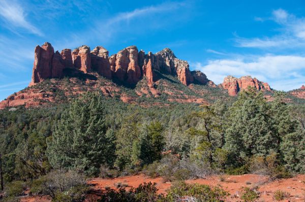
Trail photos

End ride?
Turn calls, the timer and your recording stop when the ride ends.