
Dear Watson
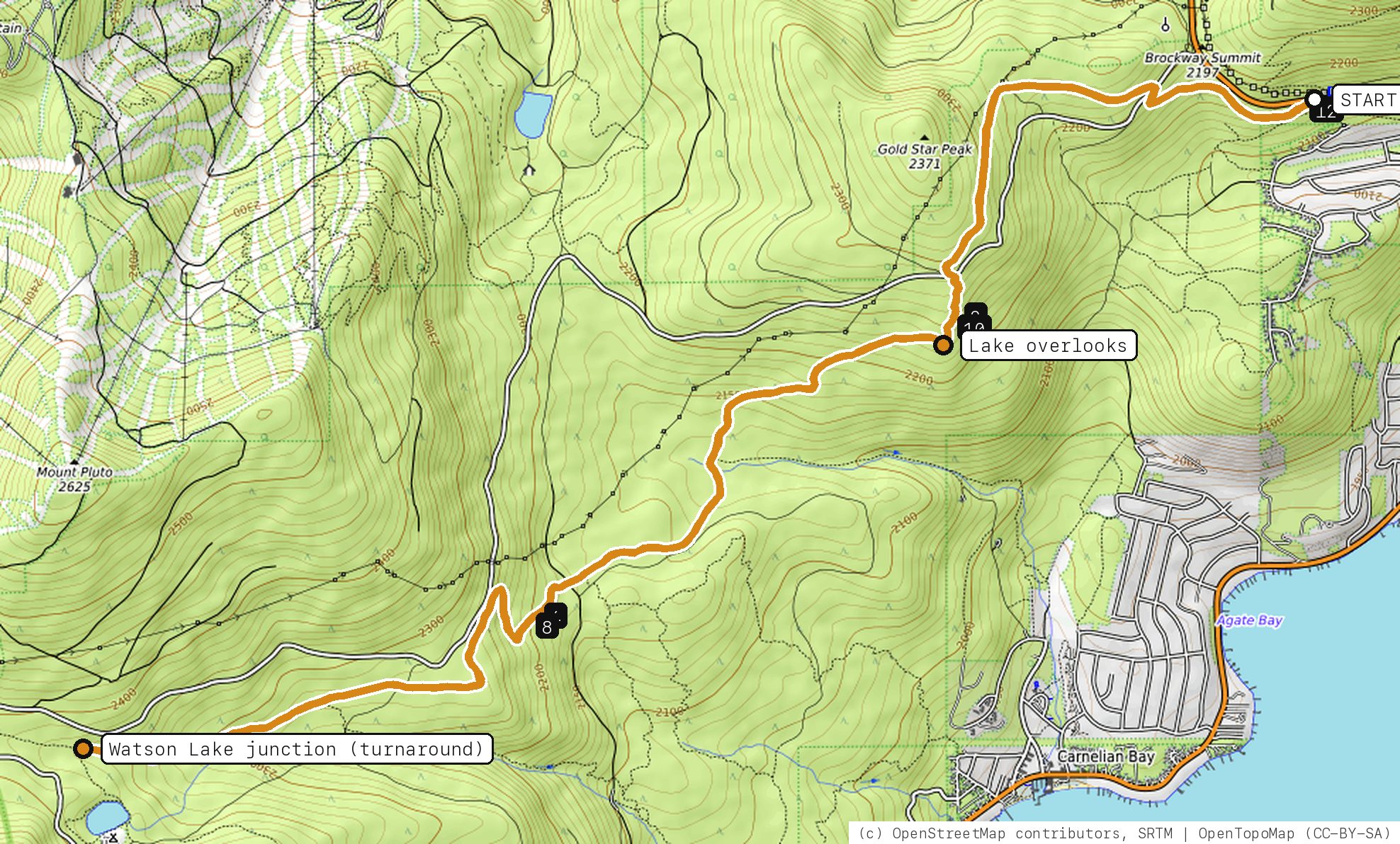
The Tahoe Rim Trail west from Brockway Summit: a stiff climb to big lake views, then rolling ridge singletrack to Watson Lake and back.
Your timesno timed runs yet
Ride mode times every run on its own: the clock starts when you roll out of the start and stops at the finish, with splits at each marked spot. Leave Ride mode on between laps and it re-arms when you're back at the start. Times stay on this phone.
Right now at the trailhead


Get the GPS file
Scan with a friend's phone, or tap below. Then open it in your ride app.
- iPhone: tap Download, open it from the Downloads bar, then Share → Trailforks, Strava or Garmin.
- Android: tap Download, then open the file and pick your app.
- Garmin: or drag it into Garmin Connect → Courses → Import on a computer.
https://bsqrd-designs.com/dirt/dear-watson/
Getting there
Park at Tahoe Rim Trail, Brockway Summit Trailhead
CA-267 about 0.5 mi below Brockway Summit, 3 mi above Kings Beach, CA 96143
- Paved roadside spaces along Highway 267, free. They fill by 9 or 10 a.m. in summer. Cross the highway with great care.
- Start and finish are the same spot. Follow the cue sheet and the arrows on the map.
Cue sheet
| 0.0 | Tahoe Rim Trailsingletrack via Lake overlooks · Watson Lake junction (turnaround) | 12.3 mi |
| 12.3 | Back at Tahoe Rim Trail, Brockway Summit Trailhead |
Know before you go
- Big day: about 12 miles out and back on the Rim Trail with roughly 2,250 ft of climbing, most of it on the way out. Bring plenty of water.
- The Rim Trail between Brockway Summit and Tahoe City is open to mountain bikes every day. Do not ride east of the highway past the bike limit toward Mount Rose; that section runs into the Mount Rose Wilderness, which is closed to bikes.
- E-bikes are not allowed on the Tahoe Rim Trail here.
- The Rim Trail crosses Mount Watson Boulevard and several forest roads; stay on the signed Rim Trail.
- Shared with hikers and horses. Busy on summer weekends.
Ride smart
- Water: plan on about 1.5 L for this ride. There's none on the trail.
- Signal is spotty. Tell someone your route and your time back.
- Emergency: call 911 and say "Dear Watson ride, parked at Tahoe Rim Trail, Brockway Summit Trailhead, North and East Shore, Lake Tahoe", plus the coordinates from Locate me.
- Wildlife: give horses, burros and anything with horns room, and never feed them.
- Stay on trail. Desert crust and mountain soil take decades to heal.
Report a problem or share a photo
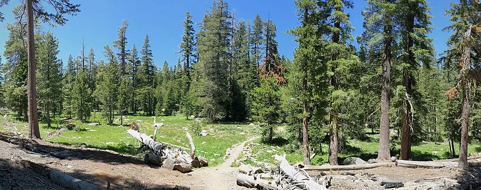
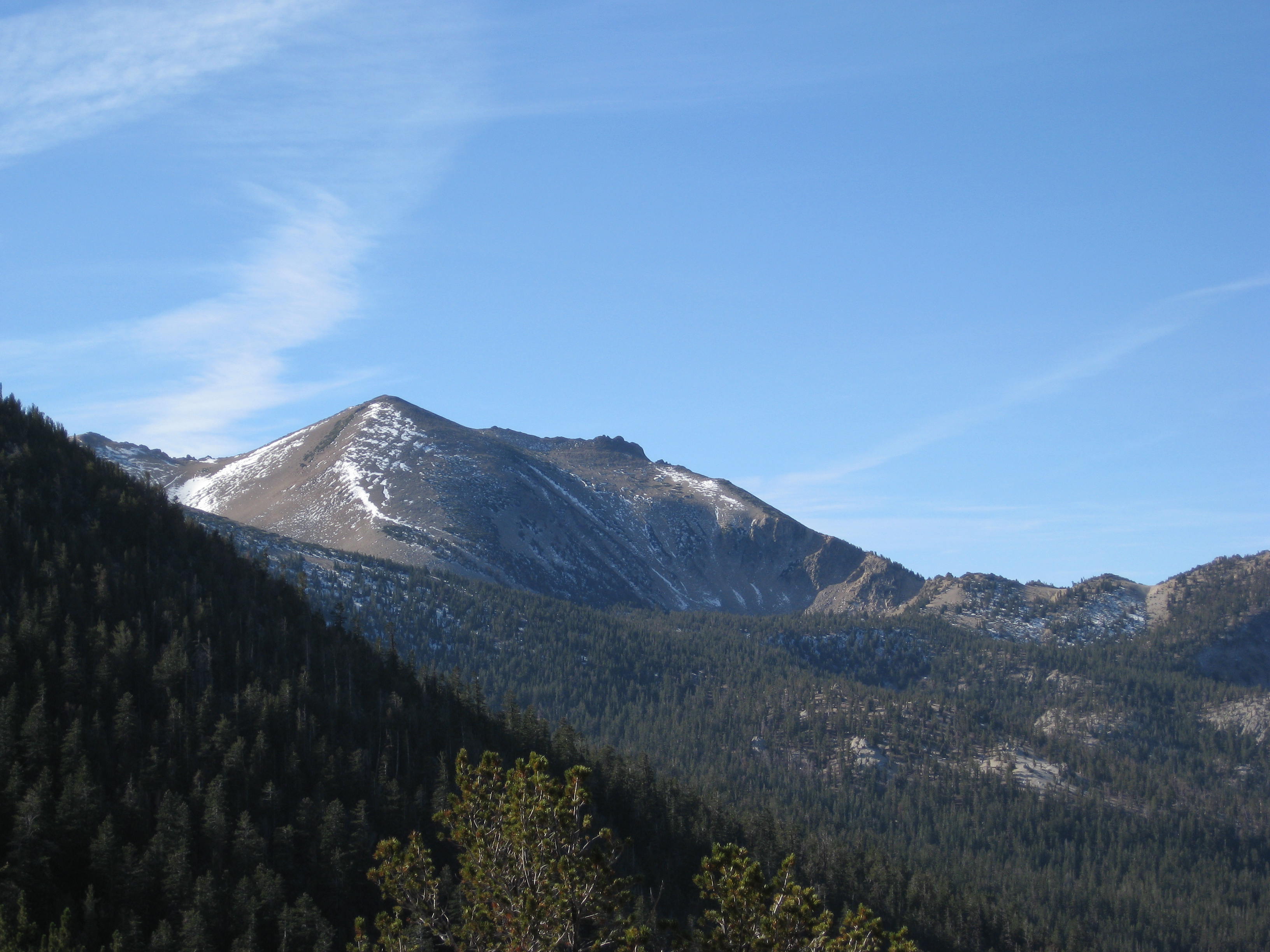
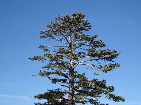
Washout, closure, new fence or a missing sign? Got a great shot of a junction? Send it. It goes straight to Ryan; photos he approves show up on this page with your credit.
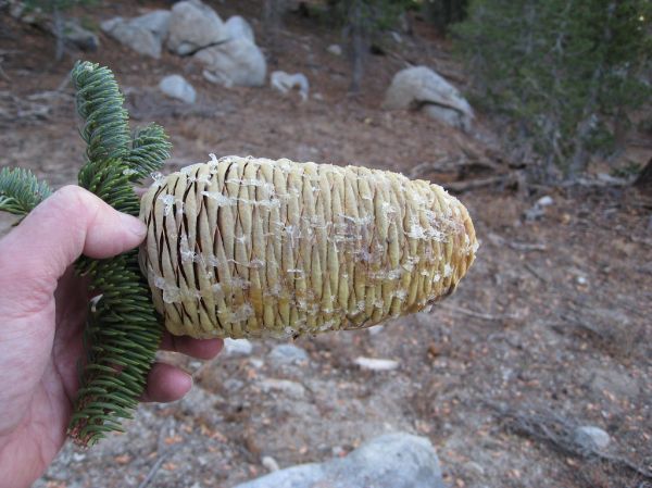
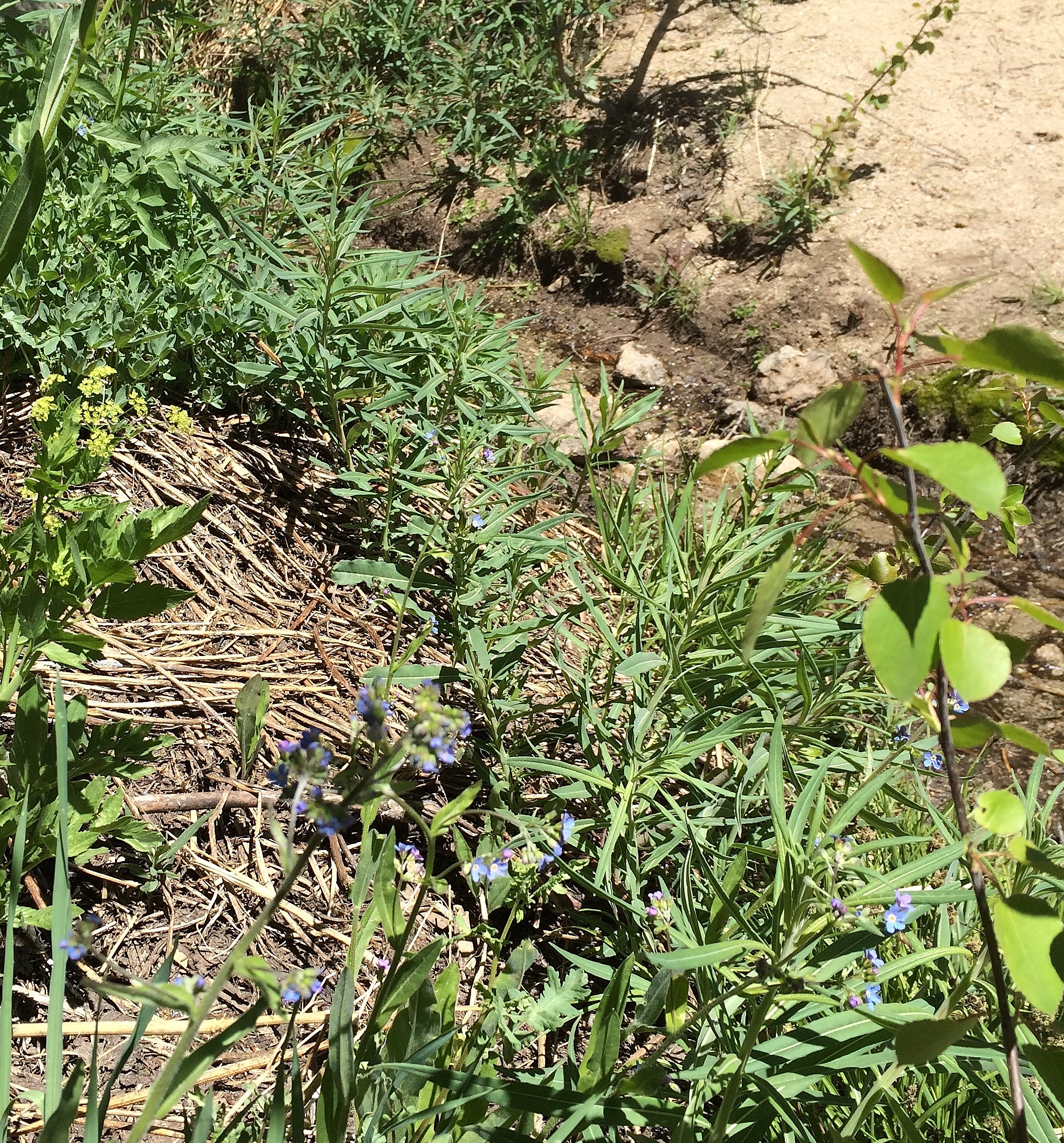
Trail photos

End ride?
Turn calls, the timer and your recording stop when the ride ends.