
Big Little Loop
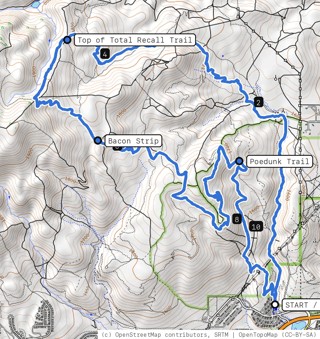
The full Peavine tour: Keystone Canyon and the whole Total Recall climb, Scrub Brush over to Bacon Strip, the Halo Trail around the hill, then Snow Terrace, Poedunk and P-Drop home.
Your timesno timed runs yet
Ride mode times every run on its own: the clock starts when you roll out of the start and stops at the finish, with splits at each marked spot. Leave Ride mode on between laps and it re-arms when you're back at the start. Times stay on this phone.
Right now at the trailhead


Get the GPS file
Scan with a friend's phone, or tap below. Then open it in your ride app.
- iPhone: tap Download, open it from the Downloads bar, then Share → Trailforks, Strava or Garmin.
- Android: tap Download, then open the file and pick your app.
- Garmin: or drag it into Garmin Connect → Courses → Import on a computer.
https://bsqrd-designs.com/dirt/big-little-loop/
Getting there
Park at East Keystone Canyon Trailhead
Off Leadership Pkwy near Victory Ln, Reno, NV
- Washoe County trailhead at the south end of Keystone Canyon. About 1.8 miles from the UNR campus (straight-line distance measured on the map).
- Start and finish are the same spot. Follow the cue sheet and the arrows on the map.
Cue sheet
| 0.0 | Keystone Canyon Traildirt road | 1.7 mi |
| 1.7 | Total Recall Trailsingletrack via Top of Total Recall Trail | 3.0 mi |
| 4.7 | Scrub Brushsingletrack | 0.6 mi |
| 5.3 | Bacon Stripsingletrack | 2.0 mi |
| 7.3 | Halo Trailsingletrack | 0.2 mi |
| 7.5 | Curt's Cutoffsingletrack | 0.3 mi |
| 7.7 | Halo Trailsingletrack | 1.8 mi |
| 9.5 | Snow Terracesingletrack via Poedunk Trail | 0.3 mi |
| 9.8 | Poedunk Trailsingletrack | 1.3 mi |
| 11.1 | P-Drop Traildirt road | 0.6 mi |
| 11.8 | Back at East Keystone Canyon Trailhead |
Know before you go
- Closed right now: the Hawk Fire closure (Humboldt-Toiyabe National Forest order 04-17-26-01-06) shuts the national forest trails on this ride until 12:01 on Oct 31, 2026, unless the Forest lifts it sooner. Check the Forest's alerts page before you go, and once it reopens expect burn damage, loose soil and missing signs.
- A long day for fit riders: about 12 miles with a big, steady climb up Total Recall, then a lot of rolling singletrack. Bring plenty of water; there is none on the mountain and very little shade.
- Shorten it by skipping Bacon Strip and dropping straight down Halo and Poedunk from the Total Recall climb.
- Peavine clay stays sticky for days after rain or snowmelt and ruts easily. Skip it when it is wet.
Ride smart
- Water: plan on about 1.5 L for this ride. There's none on the trail.
- Signal is spotty. Tell someone your route and your time back.
- Emergency: call 911 and say "Big Little Loop ride, parked at East Keystone Canyon Trailhead, Reno, Nevada", plus the coordinates from Locate me.
- Wildlife: give horses, burros and anything with horns room, and never feed them.
- Stay on trail. Desert crust and mountain soil take decades to heal.
Report a problem or share a photo
Washout, closure, new fence or a missing sign? Got a great shot of a junction? Send it. It goes straight to Ryan; photos he approves show up on this page with your credit.
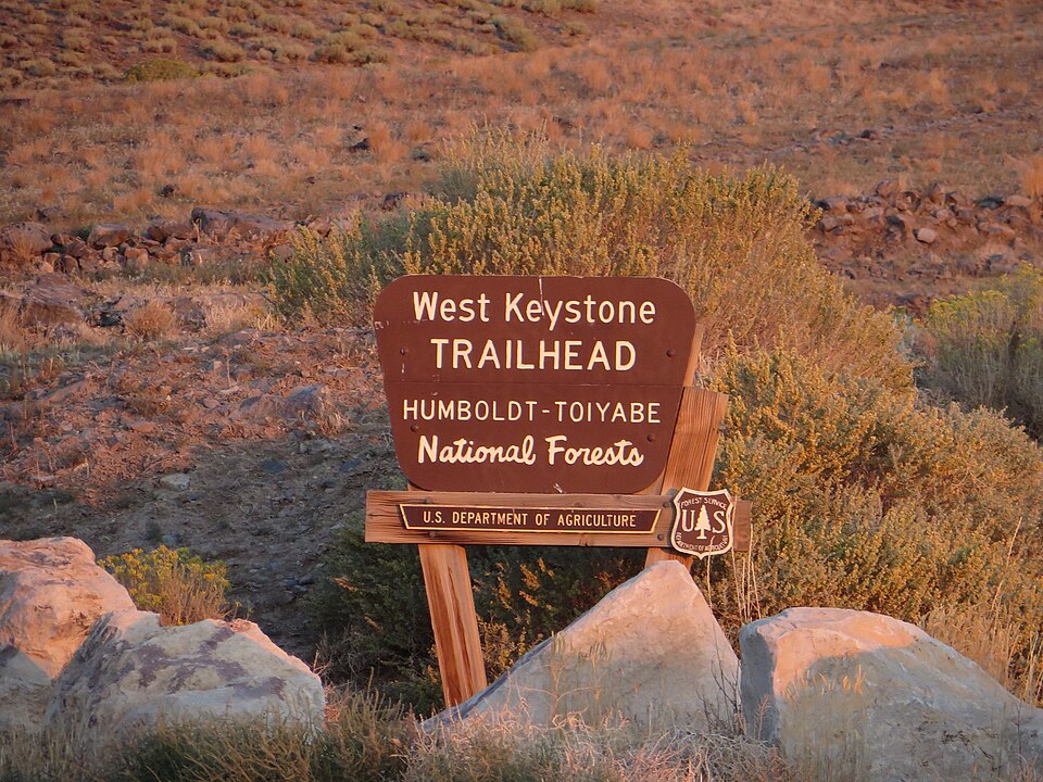
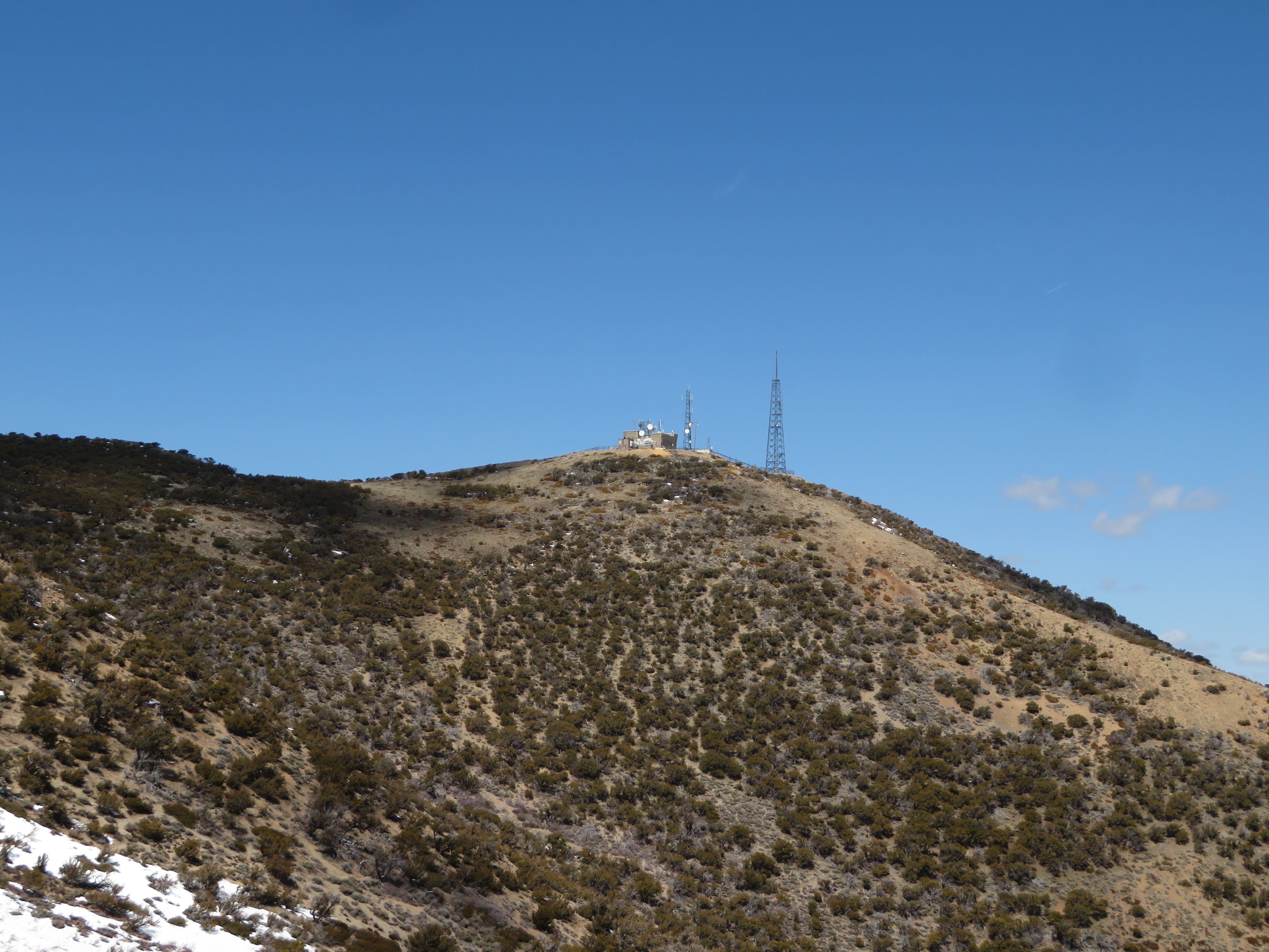
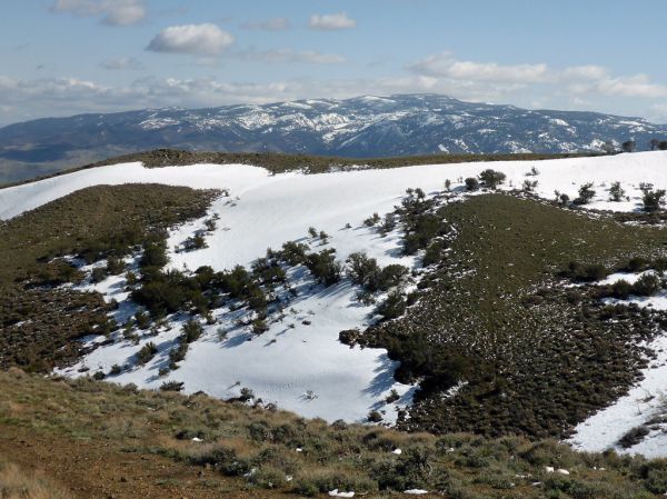
Trail photos


End ride?
Turn calls, the timer and your recording stop when the ride ends.